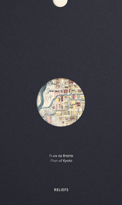
Map of Kyoto (1864)
This anonymous woodblock print, dated 1863, depicts the capital Kyoto and its immediate surroundings in the classic style of the Edo period.
The map provides an accurate view of the 'capital city,' showcasing its orthogonal layout and urban structure, composed of machi—residential blocks measuring 120 metres on each side. Oriented north-south due to the location of the Imperial Palace in the city's north, this map is one of the earliest examples from the golden age of Japanese cartography.
21 x 34 cm, map
French/English
Original: $25.65
-65%$25.65
$8.98Product Information
Product Information
Shipping & Returns
Shipping & Returns
Description
This anonymous woodblock print, dated 1863, depicts the capital Kyoto and its immediate surroundings in the classic style of the Edo period.
The map provides an accurate view of the 'capital city,' showcasing its orthogonal layout and urban structure, composed of machi—residential blocks measuring 120 metres on each side. Oriented north-south due to the location of the Imperial Palace in the city's north, this map is one of the earliest examples from the golden age of Japanese cartography.
21 x 34 cm, map
French/English